Current super gages in Ohio, Kentucky, and Indiana are listed below. Clicking on the station name will take you to the site description.
| USGS Station ID | Station Name |
|---|---|
| 04183500 | Maumee River at Antwerp, OH |
| 03216070 | Ohio River at Ironton, OH |
| 03254520 | Licking River at Hwy 536 nr Alexandria, KY |
| 03321500 | Green River at Lock #1 at Spottsville, KY |
| 03353200 | Eagle Creek at Zionsville, IN |
| 03353420 | School Branch at CR750N at Brownsburg, IN |
| 03374100 | White River at Hazleton, IN |
| 03612600 | Ohio River at Olmsted, KY |
| 04092750 | Indiana Harbor Canal at East Chicago, IN |
| 04183038 | Black Creek nr Harlan, IN |
| 05515500 | Kankakee River at Davis, IN |
| 05516665 | Yellow River nr Oak Grove, IN |
| 05517000 | Yellow River at Knox, IN |
| 05517010 | Yellow River nr Brems, IN |
| 05517500 | Kankakee River at Dunns Bridge, IN |
| 05518000 | Kankakee River at Shelby, IN |
| 05524500 | Iroquois River nr Foresman, IN |
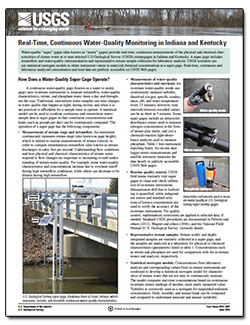
USGS Fact Sheet 2015-3041 provides more detailed information about super gages, how they operate, and the data they collect.
Indiana:
Tim Lathrop
(317) 600-2782
trlathro@usgs.gov
Kentucky:
Jeff Woods
(317) 600-2762
jwoods@usgs.gov